In summary:
- A 4-week trip must account for over 40 hours of pure driving; implement a “2 days driving, 1 day exploring” rhythm to manage fatigue.
- Your fuel budget is not static; it fluctuates based on provincial tax differences and mountain terrain, which can increase consumption by up to 30%.
- For a September trip, an SUV provides superior flexibility over an RV due to seasonal campground closures and severe parking limits at popular Rocky Mountain sites.
- Avoid critical logistical traps, such as taking the wrong highway in Northern Ontario or crossing the Rockies on a weekend, to save entire days of travel.
Planning a month-long, coast-to-coast drive across Canada is an exercise in managing expectations against the sheer scale of the country. Many travelers focus on a checklist of sights, only to find themselves overwhelmed by the immense distances, leading to exhaustion and missed opportunities. The common advice—to “pack layers” or “book ahead”—scratches the surface but fails to address the core challenge: this journey is a complex logistical operation.
The fear of poor time management is justified. It stems from underestimating the geographic realities that govern a trip from Toronto to Vancouver and beyond. A successful journey isn’t about a more ambitious itinerary; it’s about a smarter one. It requires treating your finite resources—time, fuel, and energy—with the precision of a project manager. This is not just a vacation; it’s a mission in efficiency and strategic planning.
Instead of just listing destinations, this guide adopts the perspective of a logistics coordinator. We will deconstruct the trip into its critical components, exposing the hidden variables and decision points that determine its success. We will move beyond the what and focus on the why, analyzing the cost-benefit calculus behind every choice, from your vehicle to your route, so you can execute your 4-week plan without succumbing to the tyranny of the distance.
This article provides a strategic framework for your journey. We will dissect the primary logistical challenges you will face, from calculating realistic driving times and fuel budgets to navigating specific regional bottlenecks that can derail your schedule. The following sections offer a clear, operations-focused look at planning your trans-Canada adventure.
Summary: A Logistics-Focused Guide to Your Trans-Canada Drive
- Why Driving from Toronto to Vancouver Takes 40+ Hours of Pure Wheel Time?
- How to Calculate Your Fuel Budget for a 5,000 km Trip Across 5 Provinces?
- SUV or Campervan: Which Vehicle Suits a Coast-to-Coast Journey in September?
- The Route Planning Mistake That Adds 2 Days of Driving in Northern Ontario
- When to Schedule Your Rockies Crossing to Avoid Weekend Traffic Jams?
- Why Your Gas Mileage Drops by 30% When Driving the Icefields Parkway?
- Why Taking the Ferry to Newfoundland Might Cost You More Than Flying?
- RV vs Rental Car: Which is the Best Way to Drive the Canadian Rockies?
Why Driving from Toronto to Vancouver Takes 40+ Hours of Pure Wheel Time?
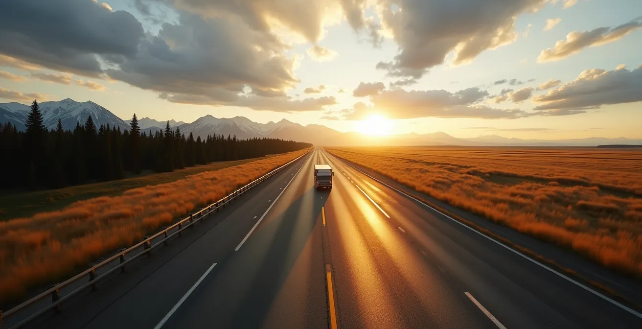
The first step in any logistical plan is to establish a baseline. When Google Maps states a 40-hour drive time from Toronto to Vancouver, it refers to a non-stop, best-case scenario without traffic, construction, or rest. For a traveler, this number is not a target; it is a raw variable that must be managed. In reality, this “pure wheel time” represents the absolute minimum physical commitment required, forming the foundation upon which your entire 4-week schedule is built.
This 4,400-kilometer journey is not a highway sprint. It crosses five provinces, two time zones, and vastly different terrains. Factoring in essential stops for fuel, food, and driver swaps transforms the 40 hours into at least 5-6 full driving days. The most common planning failure is mistaking driving days for exploration days. They are not the same. A day spent driving 8 hours across the Prairies is a day consumed by transit, depleting your energy resource for any meaningful activity upon arrival.
To avoid burnout, you must reframe your thinking from “how fast can I get there?” to “what is a sustainable daily pace?” A seasoned coordinator’s rule is the “2 days driving, 1 day exploring” rhythm. This model builds in necessary recovery time, turning the journey from a marathon into a series of manageable sprints. It acknowledges that your personal energy is as critical a resource as time or fuel. Ignoring this leads directly to the exhaustion you aim to avoid, where iconic landscapes become a blur seen through a windshield.
Therefore, those 40+ hours are not an obstacle to overcome but a constant to plan around. In a 28-day trip, dedicating 6-7 full days just to transit means you have approximately 21 days for everything else. This simple calculation immediately brings your itinerary into sharp focus and forces realistic decisions about where to allocate your most precious resource: time.
Understanding this time commitment is the first step toward building a resilient and enjoyable travel plan.
How to Calculate Your Fuel Budget for a 5,000 km Trip Across 5 Provinces?
After time, fuel is the second critical resource to manage. Budgeting for a 5,000-kilometer trip is more complex than a simple (distance / vehicle mileage) * price calculation. The primary variable that travelers underestimate is the significant fluctuation in fuel prices across Canada. This is not a minor difference; it’s a major budget line item that can be optimized with strategic planning.
Provincial taxes are the main driver of this variance. As you travel west, prices in British Columbia can be dramatically higher than in Alberta due to carbon taxes and transit levies. According to Statistics Canada data that shows gas prices fluctuate by up to 30-40 cents per litre between provinces, a single fill-up can have a $20-$30 cost difference. Over the course of the trip, this adds up to hundreds of dollars. A logistics-minded traveler sees the provincial border between Alberta and British Columbia not as a line on a map, but as a critical refueling opportunity.
The second variable is consumption rate. Your vehicle’s stated fuel efficiency is based on ideal, flat-highway conditions. This will not be your reality. Driving through the Rocky Mountains, with its steep grades and high altitudes, will increase your fuel consumption. Furthermore, city driving in places like Calgary or Vancouver will be less efficient than cruising across Saskatchewan. A conservative estimate is to add a 15-20% buffer to your total fuel calculation to account for these geographic realities.
The following table illustrates the financial impact of these provincial differences and provides a clear strategic recommendation for managing your fuel budget effectively. This data-driven approach is key to preventing unexpected costs.
| Province | Average Price/Litre | Provincial Tax Impact | Recommended Strategy |
|---|---|---|---|
| Alberta | $1.25-1.35 | Lowest tax | Fill up before entering BC |
| British Columbia | $1.65-1.75 | Carbon tax + transit levy | Minimal refueling |
| Ontario | $1.45-1.55 | Moderate | Use GasBuddy app for best prices |
| Manitoba | $1.35-1.45 | Lower than average | Good refueling point |
Treating fuel as a managed expense, rather than a random cost, is a hallmark of a well-planned, stress-free road trip.
SUV or Campervan: Which Vehicle Suits a Coast-to-Coast Journey in September?
Your choice of vehicle is the single biggest logistical decision you will make, dictating your budget, flexibility, and comfort. For a September cross-Canada trip, the popular image of a campervan or RV often clashes with the operational realities of “shoulder season” travel. While the allure of a home on wheels is strong, an All-Wheel Drive (AWD) SUV combined with pre-booked accommodations often provides far greater strategic advantages.
September marks a swift transition in Canada. After Labour Day (the first Monday of September), many private campgrounds and RV service facilities, including essential dump stations, begin to close for the season. This severely curtails the “freedom” a campervan is supposed to offer, forcing you onto a rigid schedule dictated by the few remaining open sites. National park campgrounds in Banff and Jasper are often booked solid months in advance, eliminating last-minute options.
Case Study: The September RV Flexibility Myth
Many travelers choose an RV for flexibility, but in September this can backfire. A report from CanaDream highlights that private campground closures post-Labour Day create logistical headaches. An RV traveler without advanced reservations may find themselves with limited, or no, overnight options, especially in more remote areas. In contrast, a traveler with an SUV can pivot easily, choosing from a wider array of hotels, motels, and B&Bs that remain open year-round, offering the very flexibility the RV traveler sought but could not find.
An SUV, particularly an AWD model, is better suited to September’s unpredictable weather. Early season snowfall is a distinct possibility at higher elevations, such as on the Icefields Parkway or through Rogers Pass in British Columbia. An SUV equipped with all-weather tires provides better handling and safety in these variable conditions. Furthermore, a smaller vehicle grants access to iconic locations where RVs are restricted due to narrow roads or tight parking, such as the roads to Takakkaw Falls or certain trailheads in the Rockies.
Ultimately, the logistical flexibility and resilience offered by an SUV in September often outweigh the perceived benefits of a campervan for a coast-to-coast journey.
The Route Planning Mistake That Adds 2 Days of Driving in Northern Ontario
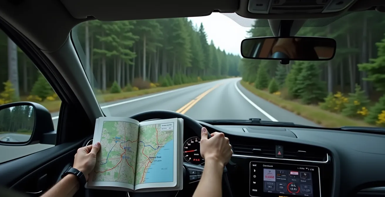
Northern Ontario represents the first major logistical bottleneck of your westward journey. This vast, remote stretch of the Trans-Canada Highway is where a single poor routing decision can cost you dearly in time, fuel, and energy. The most common and costly mistake is choosing Highway 11 over Highway 17 when traveling between North Bay and Thunder Bay.
On a map, Highway 11 appears as a viable, slightly more direct northern route. In reality, it is a logistical trap for the unprepared traveler. This highway is primarily a corridor for long-haul transport trucks, with significantly fewer services, gas stations, and accommodation options. Cell service is sporadic for hundreds of kilometers, and the scenery is a monotonous wall of boreal forest. A breakdown or miscalculation of fuel here can turn into a serious problem.
This is where a driver’s perspective from inside the cabin, looking at a physical map, becomes crucial. The abstract lines on a screen don’t convey the on-the-ground reality of the Canadian Shield.
Conversely, Highway 17, which follows the northern shore of Lake Superior, is the clear strategic choice. While it may appear longer, it is built for tourism. It offers more frequent towns, reliable services, and stunning coastal viewpoints that break up the long driving hours. This route transforms a grueling transit day into a scenic part of the adventure, which is essential for managing driver fatigue and morale.
Your Action Plan: Navigating Northern Ontario
- Choose Highway 17 (Trans-Canada) over Highway 11 for superior services and scenic value.
- Download offline maps for the entire Thunder Bay to Sudbury corridor before you lose reliable cell service.
- Never pass a gas station with less than half a tank; the next one could be over 150 km away.
- Check the Ontario 511 highway hotline each morning for updates on frequent summer construction delays.
- Pack an emergency kit with water, snacks, and blankets, as even on Highway 17, stretches between towns can be long and remote.
Choosing Highway 17 is a decision that saves you not only potential days of delay but also preserves your energy for the western half of your journey.
When to Schedule Your Rockies Crossing to Avoid Weekend Traffic Jams?
Just as Northern Ontario is a geographical bottleneck, the stretch of the Trans-Canada Highway through the Rocky Mountains is a temporal one. Your timing here is everything. Arriving in the Calgary-Banff corridor on a Friday afternoon is a logistical mistake that will trap you in hours of gridlock, wasting precious time and causing immense frustration. The flow of traffic into the mountains is highly predictable and, therefore, manageable.
The primary source of this congestion is weekend travel from Calgary, a city of over 1.3 million people, for whom Banff is a local playground. This exodus begins Friday afternoon and reverses Sunday afternoon. The impact is staggering; tourism statistics show that traffic on the Trans-Canada Highway can increase by 150-200% during these peak periods. A 90-minute drive from Calgary to Banff can easily stretch to three hours or more.
Strategic Timing: The Mid-Week Advantage
Experienced travel planners advise clients to structure their itinerary to cross the Calgary-Golden/Revelstoke section between a Tuesday and a Thursday. This simple adjustment has a cascade of positive effects. Not only does it bypass the severe highway congestion, but it also dramatically improves the experience within the national parks. Parking at world-famous but space-limited locations like Johnston Canyon or the Lake Louise townsite is far more attainable on a weekday, saving you from the dreaded “lot full” signs that are standard on weekends.
Your strategy should be to let the weekend crowds work for you, not against you. Plan to arrive in a “base camp” city like Calgary or Canmore *before* Friday. Use the peak weekend days (Saturday/Sunday) for local activities that don’t require long-distance highway driving, or for exploring less-congested areas like Kananaskis Country. Reserve the less-crowded weekdays for your main transit through the most popular sections of Banff and Yoho National Parks. This counter-intuitive approach is the key to an efficient and enjoyable Rockies experience.
By treating the traffic patterns as a fixed variable, you can design a schedule that flows with them, not against them, preserving both your time and your sanity.
Why Your Gas Mileage Drops by 30% When Driving the Icefields Parkway?
The Icefields Parkway (Highway 93) is a mandatory, 232-kilometer scenic drive connecting Lake Louise and Jasper. It’s a highlight of any cross-Canada trip, but from a logistical standpoint, it’s a significant fuel consumption trap. Many drivers are shocked to see their gas mileage plummet, turning a drive that should use half a tank into one that requires a full one. This isn’t due to a single factor, but a combination of three geographic realities: altitude, elevation changes, and enforced speed limits.
First, the high altitude directly impacts engine performance. As you climb towards Bow Pass, the highest point on the parkway at 2,088 meters (6,850 feet), the air becomes less dense. This reduces your engine’s power and efficiency. In fact, fuel efficiency calculators confirm that at this elevation, engines can lose approximately 20% of their efficiency compared to sea level. Your vehicle is literally working harder to produce the same amount of power.
Second, the parkway is not a flat road. It involves constant, gradual ascents and descents as it navigates through mountain passes like Bow Pass and Sunwapta Pass. These long climbs force your vehicle to operate outside its optimal, fuel-efficient gear range for extended periods. The constant work of pulling the vehicle’s weight uphill consumes fuel at a much higher rate than cruising on the flat Trans-Canada Highway.
Real-World Consumption: A 30% Increase is Not an Exaggeration
Traveler logs consistently validate this phenomenon. One road tripper meticulously tracked their SUV’s performance, noting, “Our vehicle that normally gets 9L/100km on flat highways consumed between 12-13L/100km on the Parkway. This was exactly the 30% increase we’d been warned about.” The combination of climbs, the moderate 90 km/h speed limit, and frequent stops for wildlife or viewpoints means the engine rarely settles into an efficient rhythm. There are no gas stations on the Parkway itself, so starting with a full tank from Lake Louise or Jasper is non-negotiable.
This is a perfect example of how Canada’s geography directly impacts your resource management, turning a simple drive into a calculated logistical task.
Why Taking the Ferry to Newfoundland Might Cost You More Than Flying?
While the core of a cross-Canada drive is the Toronto-to-Vancouver route, many ambitious travelers consider including the easternmost province of Newfoundland. From a purely romantic perspective, driving the entire country and taking the ferry seems like the ultimate completion of the journey. However, a cold, hard logistical analysis often reveals a different truth: it may be both cheaper and more time-efficient to fly.
The “cost” of taking the ferry is not just the price of the ticket. It’s a multi-faceted expense of time, fuel, and vehicle wear. The journey requires driving to the ferry terminal in North Sydney, Nova Scotia, which itself can be a multi-day trip from Central Canada. The ferry crossing to Port aux Basques is 7 hours, and that doesn’t include loading, unloading, and potential weather delays. The total time commitment can easily consume 2-3 precious days of a 4-week trip—days that could have been spent exploring Newfoundland itself.
The Opportunity Cost of Time
When travelers calculate the “time cost,” the math often favors flying. The drive from Halifax to North Sydney is over 4 hours. Add the 7-hour ferry and buffer time, and an entire day is gone. For a traveler with a finite 28-day schedule, spending 2-3 of those days just in transit to and from the island represents a significant loss of “exploration equity.” Flying into St. John’s and renting a car locally reclaims those days, maximizing the time spent experiencing the province’s unique culture and landscapes.
When you perform a direct cost-benefit calculus, the numbers are often surprisingly close. The cost of the ferry for a vehicle and passengers, combined with the fuel needed for the 2,000+ km drive to get there from a city like Toronto, must be weighed against the cost of a round-trip flight and a weekly car rental.
This table breaks down the approximate investment, revealing that the true cost is far more than just the ferry ticket.
| Option | Time Investment | Approximate Cost | Hidden Factors |
|---|---|---|---|
| Ferry + Drive | 2-3 days total | $500-700 (ferry + gas) | 2000+ km vehicle wear |
| Fly + Rent | Half day | $400-600 (flight + weekly rental) | No vehicle wear, more exploration time |
For a time-constrained trip, flying often emerges as the strategically superior option, proving that the most direct route isn’t always a straight line on a map.
Key takeaways
- A cross-Canada road trip is a logistical operation where you must actively manage Time, Fuel, and Energy.
- Geographic and temporal bottlenecks (Northern Ontario, Rockies weekends) are predictable and must be planned around, not through.
- Your vehicle choice should be based on seasonal and regional realities (e.g., September closures, mountain parking limits) rather than just comfort.
RV vs Rental Car: Which is the Best Way to Drive the Canadian Rockies?
Nowhere is the vehicle choice more critical than within the Canadian Rockies. While the previous discussion compared an SUV and campervan for the entire coast-to-coast journey, this section focuses specifically on the operational challenges within the national parks of Banff and Jasper. Here, the agility of a rental car consistently outperforms the bulk of an RV, granting you access to the very sights you came to see.
The single greatest challenge for RVs in the Rockies is parking and access. The most iconic destinations, like Moraine Lake and Lake Louise, have become so popular that Parks Canada has implemented a shuttle system. Personal vehicles are often barred from the access roads, and visitors must park at large satellite lots and take a bus. These lots are chaotic and fill up early, but a standard rental car at least has a chance. An oversized RV has virtually zero chance of finding a spot and is often explicitly forbidden from certain areas.
The Parking Reality at Iconic Destinations
The logistical reality is stark: to see Moraine Lake, you must use the Parks Canada shuttle. A rental car gives you the flexibility to drive to the shuttle hub at any time. Many RV drivers, however, face the nightmare of being unable to park their large vehicle anywhere near the hub, effectively locking them out of seeing one of Canada’s most famous views. Furthermore, scenic drives like the Bow Valley Parkway or the road to Takakkaw Falls have sections with vehicle length restrictions and tight switchbacks, making them impassable for large RVs. A nimble rental car is simply the superior tool for exploration here.
Beyond access, the financial and practical benefits of a car-and-hotel combination are compelling. Campsites in Banff and Jasper are often booked up to a year in advance and can be expensive. When you calculate the daily RV rental cost plus nightly campsite fees, it often meets or exceeds the cost of a rental car and a comfortable hotel room—a room that comes with guaranteed heat, a hot shower, and no need to worry about water tanks or dump stations. This preserves your personal energy resource after a long day of hiking.
This decision crystallizes the core theme of our logistical approach: a successful trip prioritizes efficient access and minimizes friction. In the unique environment of the Canadian Rockies, a rental car is the key that unlocks the most doors.
By making strategic, informed decisions at every stage, you can ensure your 4-week journey across Canada is an energizing adventure, not an exhausting ordeal. The next step is to start building your own day-by-day logistical framework.